



Help shape Sleaford's next chapter
We are asking for your ideas to help develop a vision for the Old Sidings Masterplan area.
touch_app Scroll to read more
We are looking to develop a masterplan for the Old Sidings. The full masterplanning area stretches from the Bass
Maltings complex to the east, along the railway line, to Kesteven and Sleaford High School to the west. This area
includes several other priority sites: Sleaford Railway Station, Carre Arms Hotel, The Old Stables,
the former industrial warehouse and the former Sharpes Warehouse.
This is the start of a 20-year vision for Sleaford. The plans we develop throughout this masterplanning process will
start unlocking long-standing barriers to investment and shape a deliverable, investment-ready transformation programme.
Look out for the green highlighted hints like this. They will indicate interactive features on the map.
Share your ideas
We would like to hear your ideas and vision for the regeneration of this part of the town. By sharing what is most important
to you and your communities, you will be helping us to develop the emerging masterplan for this area.
This website will guide you through the masterplan area, highlighting what makes it special and exploring potential opportunities
for how the area could be transformed. There is a short survey at the end where you can give us your own ideas and feedback to help
shape the future of the area.
The survey will close on Sunday 22nd November 2026.
Map Key
 |
Masterplan area |
Our pathway to delivery
Sleaford has seen significant investment in recent years, including £1 million of improvements to the Market Place, the refurbishment of Sleaford Railway Station and the development of Sleaford Moor Enterprise Park. The investment continues through the ongoing development at Handley Chase, recent financial support to refurbish historic buildings across the town centre, and planning secured for a new four screen cinema at Money's Yard. New facilities will also be opening soon by the riverside, known as 25b Southgate, including new public toilets, a Changing Places toilet, café kiosk and office space, with riverside space including a sensory garden.
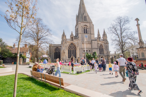
Click on the map markers to see the areas that have already been invested in across the town.
We believe now is the time for The Old Sidings Masterplan. The masterplan will establish a long-term vision for the area,
unlocking investment and new opportunities, and bring underused and undeveloped sites back to life.
To support the delivery of regeneration for the area, we are working with landowners, investors and funding bodies to secure the
Old Sidings Masterplan for generations to come.
These include:
- Working closely with the Greater Lincolnshire Combined County Authority (GLCCA) to enable alignment with wider initiatives
- Building on existing relationships with heritage bodies, both nationally and regionally to identify appropriate solutions and next steps to secure grant funding
- Exploring opportunities for funding from both public and private sector investment
- Promoting the project to attract private investors and future partnerships
Map Key
|
|
Masterplan area |
Heritage Led Development
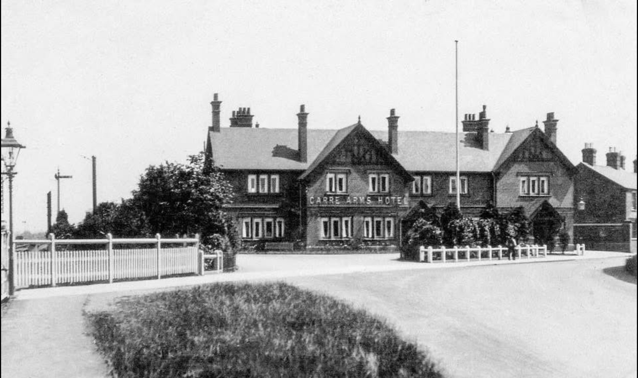
Our masterplan area includes several historic buildings and sites, each with their own rich history. By including
these key sites within our masterplan, our ambition is to celebrate and honour Sleaford's unique heritage.
Perhaps the most notable landmark in the town, the Bass Maltings consist of eight malt houses which have been vacant for
three decades. Did you know? The Bass Maltings is made up of over 15 million bricks and is the largest floor Maltings ever
constructed in England!
Upon completion in 1907, the Maltings were used in the process of turning locally grown barley into malt, for the production of beer.
The Maltings were operational until 1959, when technological advancements at their Burton-on-Trent site led to Bass winding down operations
in Sleaford.
The Maltings were occupied for a variety of purposes throughout the following decades. However, the complex suffered from multiple fires
throughout this period, resulting in major damage.
We recognise a new opportunity to bring the Maltings back to life, re-opening it to the community and giving it a new purpose. Perhaps you
have some ideas you would like to share?
The Bass Maltings complex extends beyond the malthouses themselves. Bass Cottages were built to house workers from the Maltings,
and Carre Arms Hotel was constructed in 1906 by Bass Charrington (the same company to construct Bass Maltings) to serve visitors to
the Maltings, as well as local people and users of the railway. The Maltings complex also includes offices, storage depots, weigh
offices, cart sheds and mess rooms.
Sleaford Railway Station is also included in the masterplan area. Built in 1857, the Station played a vital role in creating an
efficient transport link to Grantham and Boston, and beyond, for both passengers and freight. The line is still important today for
access to the seaside resorts of the east coast and transport of heavy goods to and from the port of Boston.
Map Key
|
|
Masterplan area |
 |
Historic Points of Interest |
 |
Historic Images |
Places
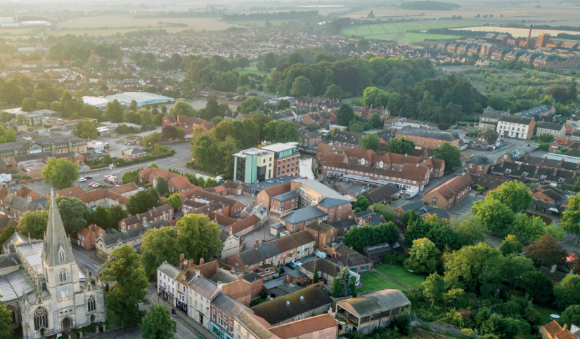
Close to the town centre and public transport links, and home to historic buildings such as the Bass Maltings, there is an
opportunity to create a mix of uses that meet community needs for current and future generations.
What could these be?
- Repurpose and bring historic buildings back to life, celebrating Sleaford's heritage and fostering civic pride
- A range of homes that cater to people across different stages of life, including family homes and later living
- Offices, workspaces and shops, that support local job creation and economic growth
- Cultural, leisure and community facilities, such as museums, cafes, food halls and entertainment.
These are some of our ideas. What kinds of places and facilities would you like to see created in Sleaford?
Map Key
|
|
Masterplan area |
 |
Residential Use |
 |
Hotel Use |
 |
Education & Healthcare Use |
 |
Civic & Leisure Use (incl. the station) |
 |
Retail Use |
 |
Food & Beverage Use |
 |
Religious Use |
 |
Vacant |
Spaces
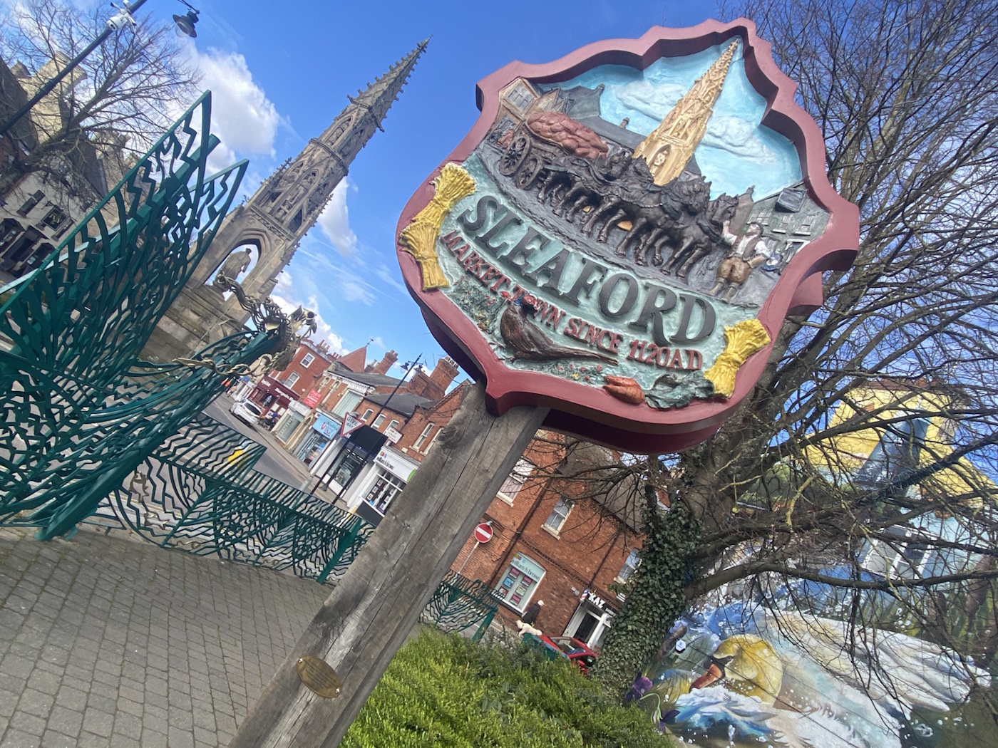
Public spaces, whether squares, parks or green spaces, provide opportunities for people to relax, play and spend time together.
We want to ensure the spaces we create connect with local people and contribute to the communities of Sleaford.
What could these be?
- Spaces that celebrate Sleaford's history, drawing inspiration from the Bass Maltings and the town's railway heritage through street furniture and art
- Spaces for play, including children's play areas, sports facilities and opportunities for active leisure
- Spaces for relaxation, with greenery, nature and seating for people to unwind
We want to understand how you use public spaces, what you would like to see more of, and what makes a great public space for you.
Map Key
|
|
Masterplan area |
 |
Public Realm Open Space |
 |
Private Open Space |
 |
Agricultural Land |
 |
Private Unmanaged Land |
 |
Tree Preservation Order |
Connections
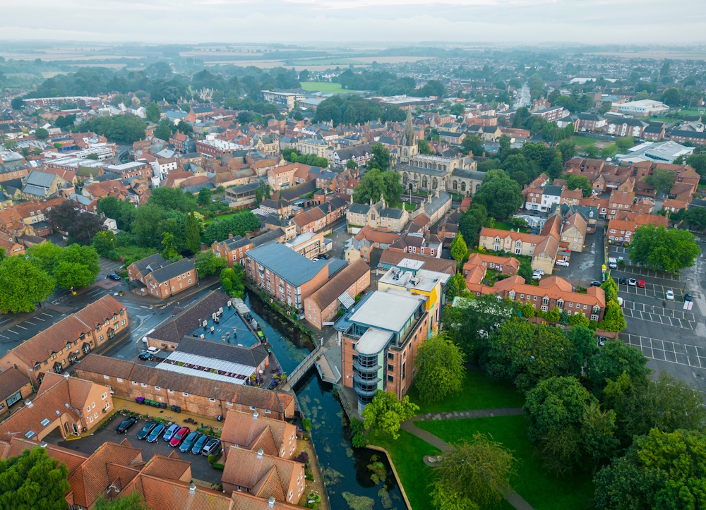
Improving connections across the area presents an important opportunity to better link people with homes, jobs, services
and public spaces. By making it easier, safer and more convenient to move around, improved connections can help support
healthier, better-connected communities and make Sleaford more accessible to everyone.
What could these be?
- Make it easier for people to navigate the area to better access local shops, facilities and services
- Create and improve walking, cycling, public transport and road connections that reflect the needs of local people
- Ensure that proposals to improve connectivity extend beyond the Old Sidings Masterplan to benefit the wider Sleaford area
These are some of our ideas. We want to understand how you currently travel around Sleaford, what barriers you experience, and what improvements would make getting around easier for you.
Map Key
|
|
Masterplan area |
 |
Vehicular Route |
 |
Pedestrian Route |
 |
Bus Stop |
 |
Level Crossing |
Have your say
Thank you for taking the time to explore the Old Sidings Masterplan area, its heritage, and the potential opportunities that
could shape its future.
We would now love to hear your ideas and vision for the area. Please click the button below or the icon on the map to answer our short survey.
Click on the button below to answer the survey, or click the icon on the map.
question_answer Have your sayWe are also inviting you to share any memories or photographs you may have of this part of Sleaford. Your stories will help us in our understanding of the heritage of thise area and could feed into how we look to develop the site.
Next Steps
We look forward to hearing your ideas and feedback, which we will carefully consider as we develop the emerging masterplan for the Old Sidings.
Our ambition is to present options for the masterplan in Spring 2027 during a second stage of engagement, during which you will have another
opportunity to provide feedback.
To receive ongoing email updates on this project, including notification of the next stage of engagement, you have the option to sign up as
a project partner via the survey on this website. If interested, simply provide your contact details when prompted at the end of the survey.
Map Key
|
|
Masterplan area |
 |
Have your say |
Sleaford Old Sidings Masterplan
Brought to you by:
touch_app Back to the start
An Engaged Space community engagement on behalf of North Kesteven District Council.
Powered by Deetu.Got a story to tell? Get in touch.