


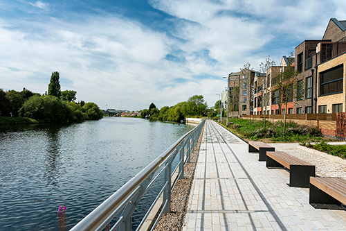
The Trent Basin Resident's Association (TBRA), in collaboration with Nottingham City Council (NCC), is seeking funding for public realm enhancements to enable connectivity in the form of a public footpath along the north bank of the River Trent and provide access to the water for sport and recreation.
| Trent Basin Phase 4 Onwards | |
| Trent Basin Phases 1, 2 & 3 |
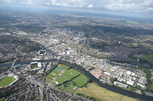
Trent Basin is part of Nottingham Waterside, one of the three major regeneration areas of Nottingham City.
Trent Basin, which is now in the third phase of development, comprises the development of circa 300 new homes and apartments to the east of Nottingham City centre.
| Trent Basin Phase 4 Onwards | |
| Trent Basin Phases 1, 2 & 3 | |
| Key Landmarks |
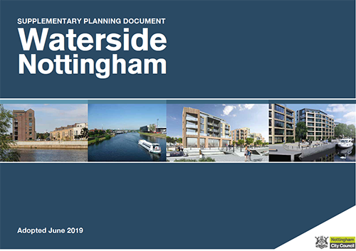
In 2019, Nottingham City Council adopted the Waterside Supplementary Planning Document (SPD).
The SPD set out the Council's vision for the Waterside as it was beginning to flourish as a new mixed neighbourhood.
Within the SPD there is a requirement for a continuous riverside footpath and cycle path from Colwick Park to Trent Bridge.
| Trent Basin Phase 4 Onwards | |
| Trent Basin Phases 1, 2 & 3 | |
| Waterside SPD Boundary | |
| Proposed Waterside SPD Development |
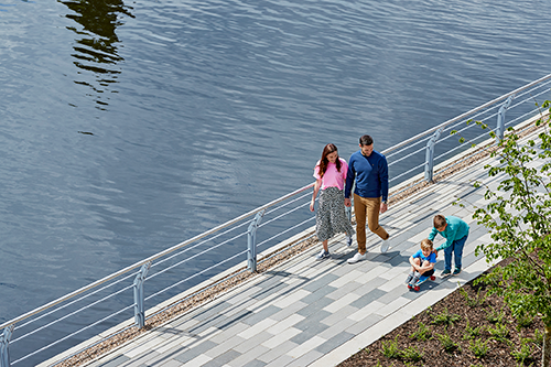
The Severn Trent Community Fund (STCF) is a £10m grant funding pot created to support local projects, charities, and groups in the Severn Trent region.
The fund is designed to support community wellbeing, and encompasses People, Place and Environment, with a preference for applications that have a connection to water.
Charities, community interest companies and local authorities are the bodies eligible to make applications.
| Trent Basin Resident's Association Severn Trent Community Fund Application Boundary |
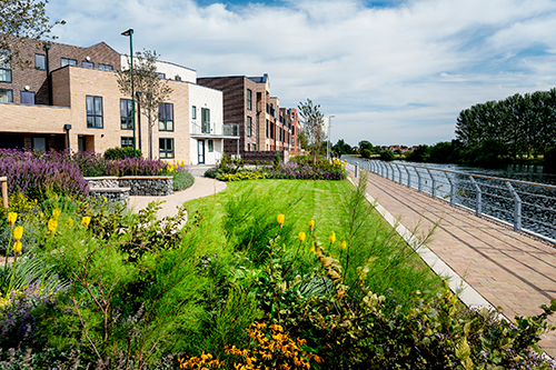
Trent Basin Resident's Association is applying for grant funding from the Severn Trent Community Fund for new public realm to open up space along the natural, green riverfront to the rear of Flo Skatepark and to create a new route from Trent Basin onto Poulton Drive and Freeth Street.
Thereby providing an alternative pedestrian and cycle route to Lady Bay Bridge, Trent Bridge, the station and onwards to the city centre.
| Trent Basin Resident's Association Severn Trent Community Fund Application Boundary | |
| Proposed Landscaping Features - e.g. benches | |
| Retain existing vegetation | |
| Hard landscaping in line with the permanent river front | |
| Information Labels |
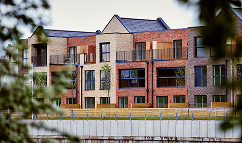
This new public realm will also extend the footpath across Trent Lane to the proposed path to the east, creating a continuous walking and cycling route separated from vehicles.
By creating a new pedestrian and cycle route across the basin mouth heading west, residents of Trent Basin, along with those occupying other new developments along Trent Lane, will have a car free route directly from Trent Lane to Poulton Drive.
| Trent Basin Resident's Association Severn Trent Community Fund Application Boundary | |
| Information Labels |

This new pedestrian friendly route opens up a direct link to Flo Skatepark (an indoor skatepark, music and events venue) and other local businesses.
Additionally, a new pontoon and access to the basin for water sports will be created, unlocking access to the 1-acre inland basin for the first time since it fell out of use in the 1990s.
| Trent Basin Resident's Association Severn Trent Community Fund Application Boundary | |
| New Walking & Cycling Route | |
| Proposed Future Walking & Cycling Route | |
| Existing Walking & Cycling Network |

This space is meant to be a place for people, we therefore want to hear how it could be best used.
Please click on one of the map markers to answer a short survey about this section of the proposals.
| Trent Basin Resident's Association Severn Trent Community Fund Application Boundary | |
| Survey Locations |

This site was
built on Explore and is actively maintained by Deetu.


The Trent Basin Resident's Association (TBRA), in collaboration with Nottingham City Council (NCC), is seeking funding for public realm enhancements to enable connectivity in the form of a public footpath along the north bank of the River Trent and provide access to the water for sport and recreation.
TBRA invites the local community to provide feedback on how they plan to use these enhanced public spaces.
Let us guide you through Trent Basin's public realm
enhancements by scrolling the story menu.
Click the map markers to view more information about that
location.
Finished reading? Our story is fully interactive - pan, zoom
and tilt the map to fully explore Trent Basin.
This site is to be used as a marketing and investment tool only and not for architectural or design purposes. Buildings, sites and features are represented as approximations of their true dimensions and the map does not account for terrain.
The data within the model is derived from a variety of open data sources and we thank the organisations attributed below for its provision.
| Data Source | License |
|---|---|
| OS Open Data | Contains Ordnance Survey data © Crown copyright and database right . |
| OpenStreetMap Contributors | Contains OpenStreetMap data and derived data licensed under the Open Database Licence. |
This site was built on Explore and is actively maintained by Deetu. To find out more, please get in touch.